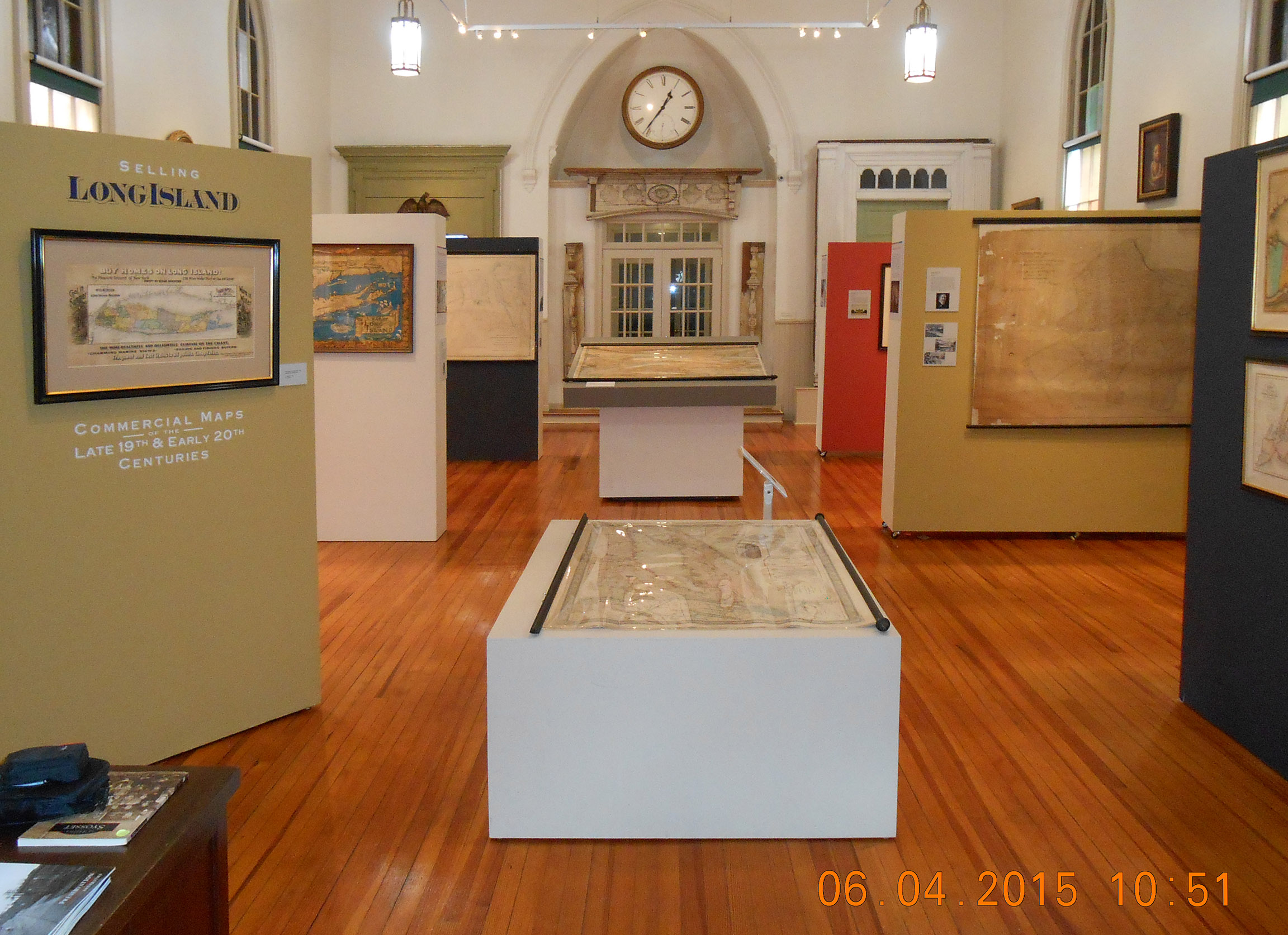
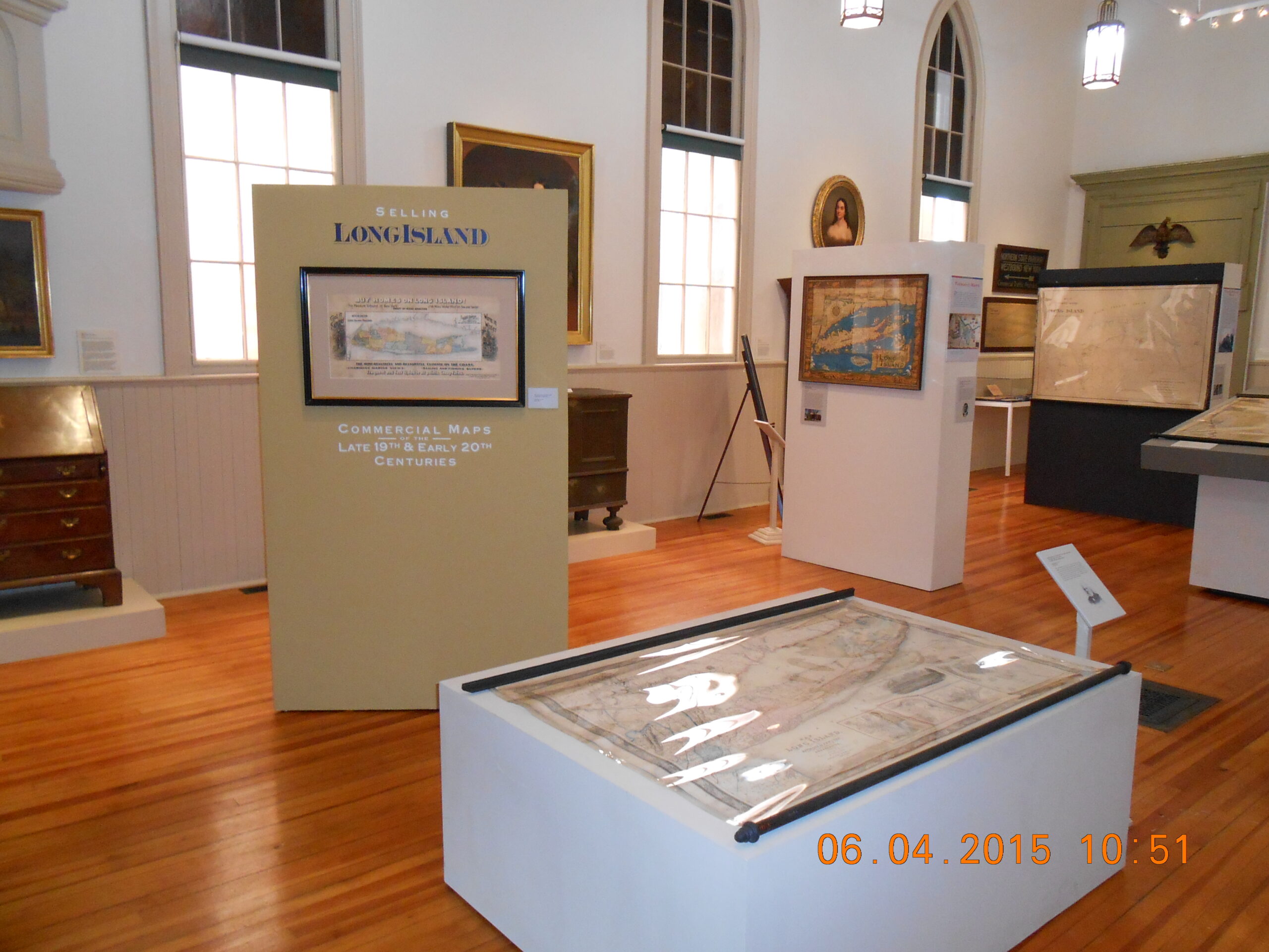
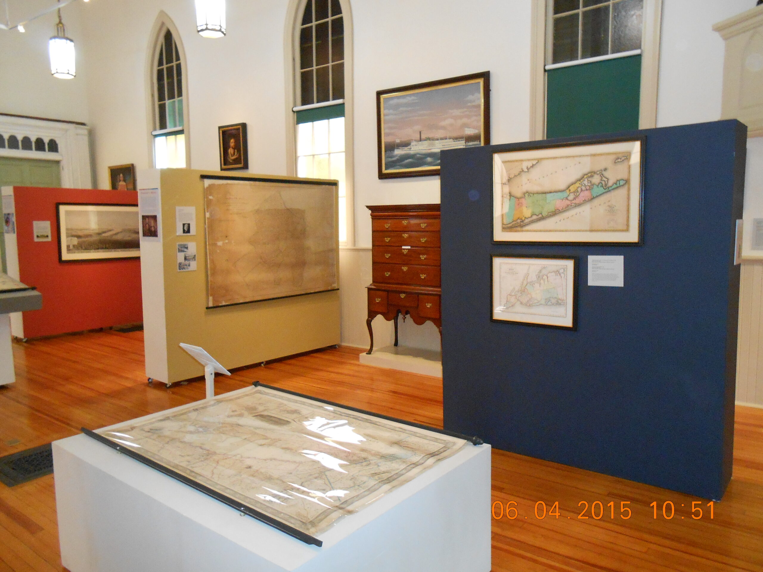
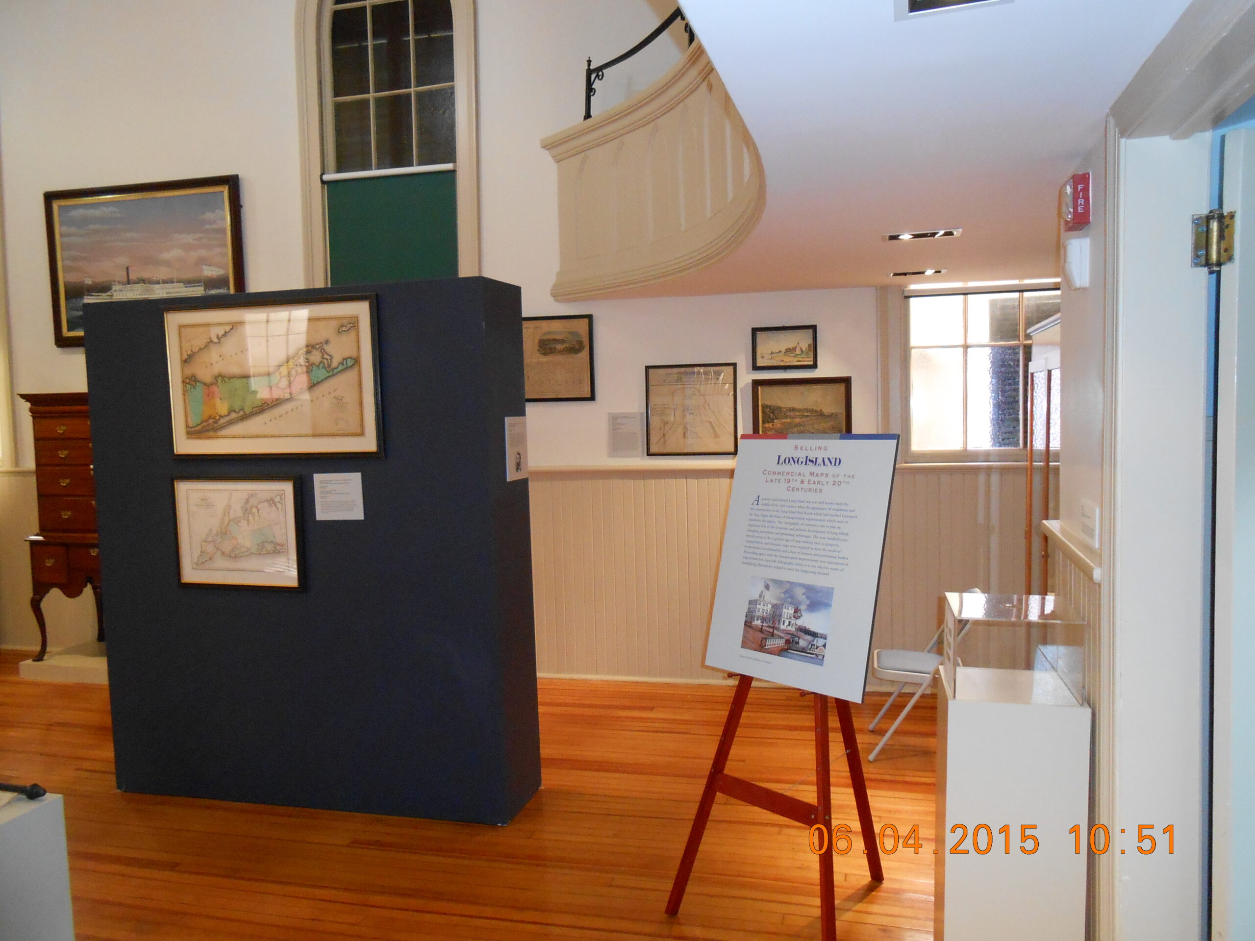
Selling Long Island: Commercial Maps of the Late 19th and Early 20th Centuries
Preservation Long Island Exhibition Gallery
2015
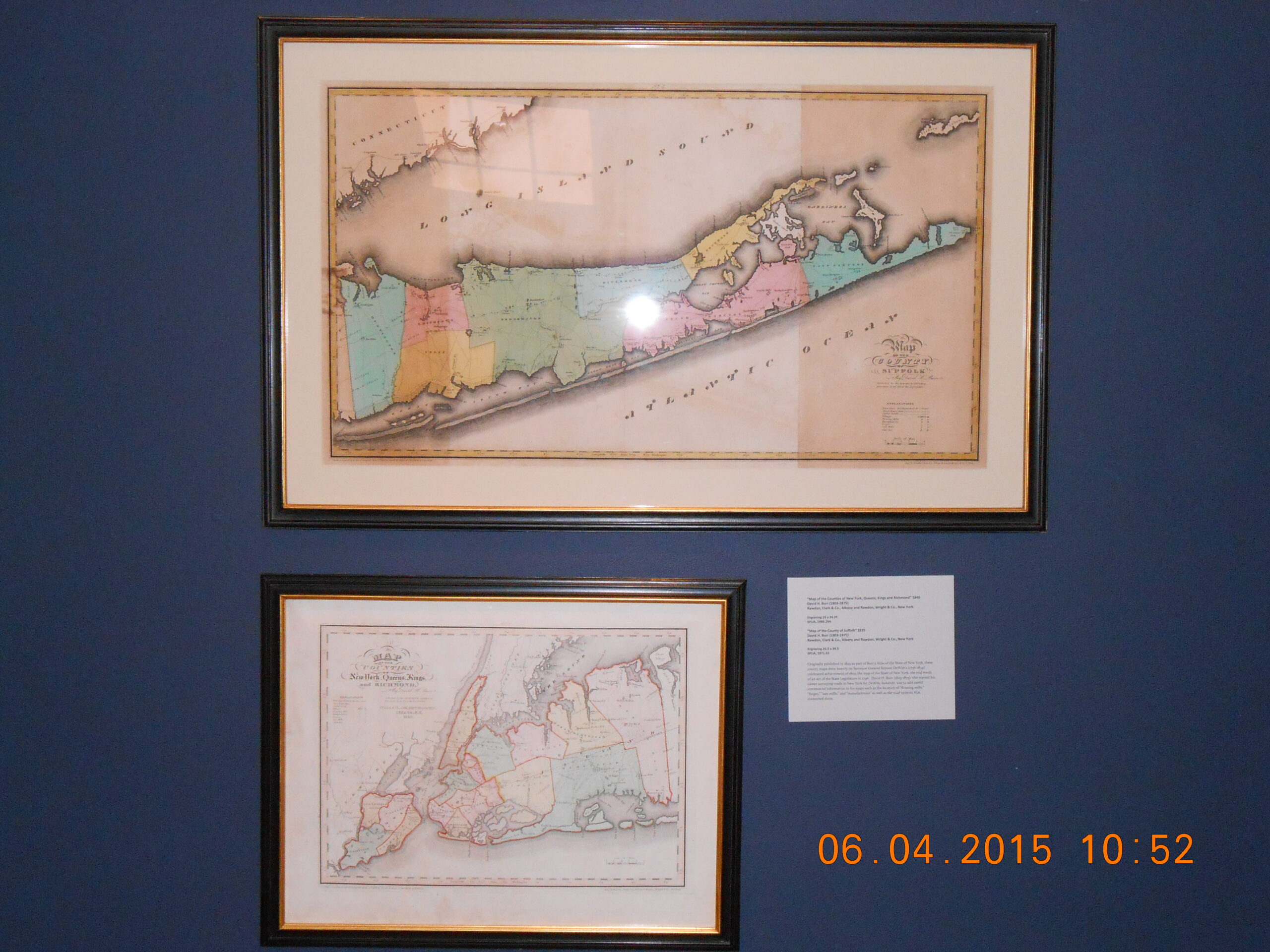
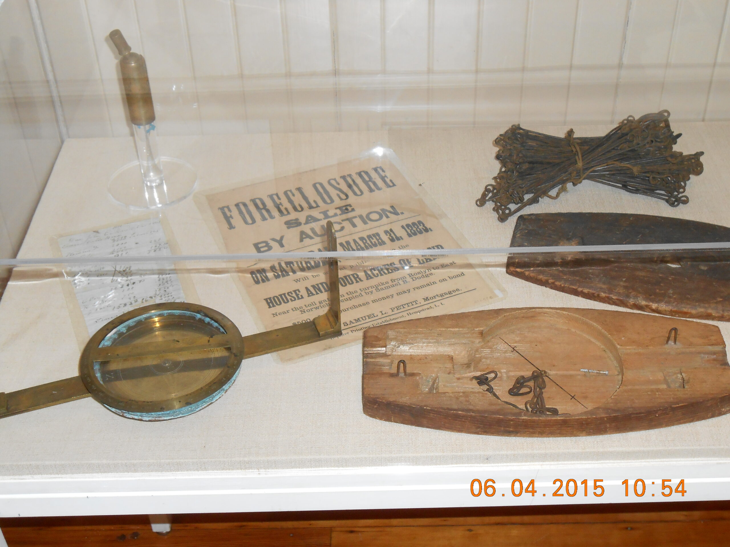
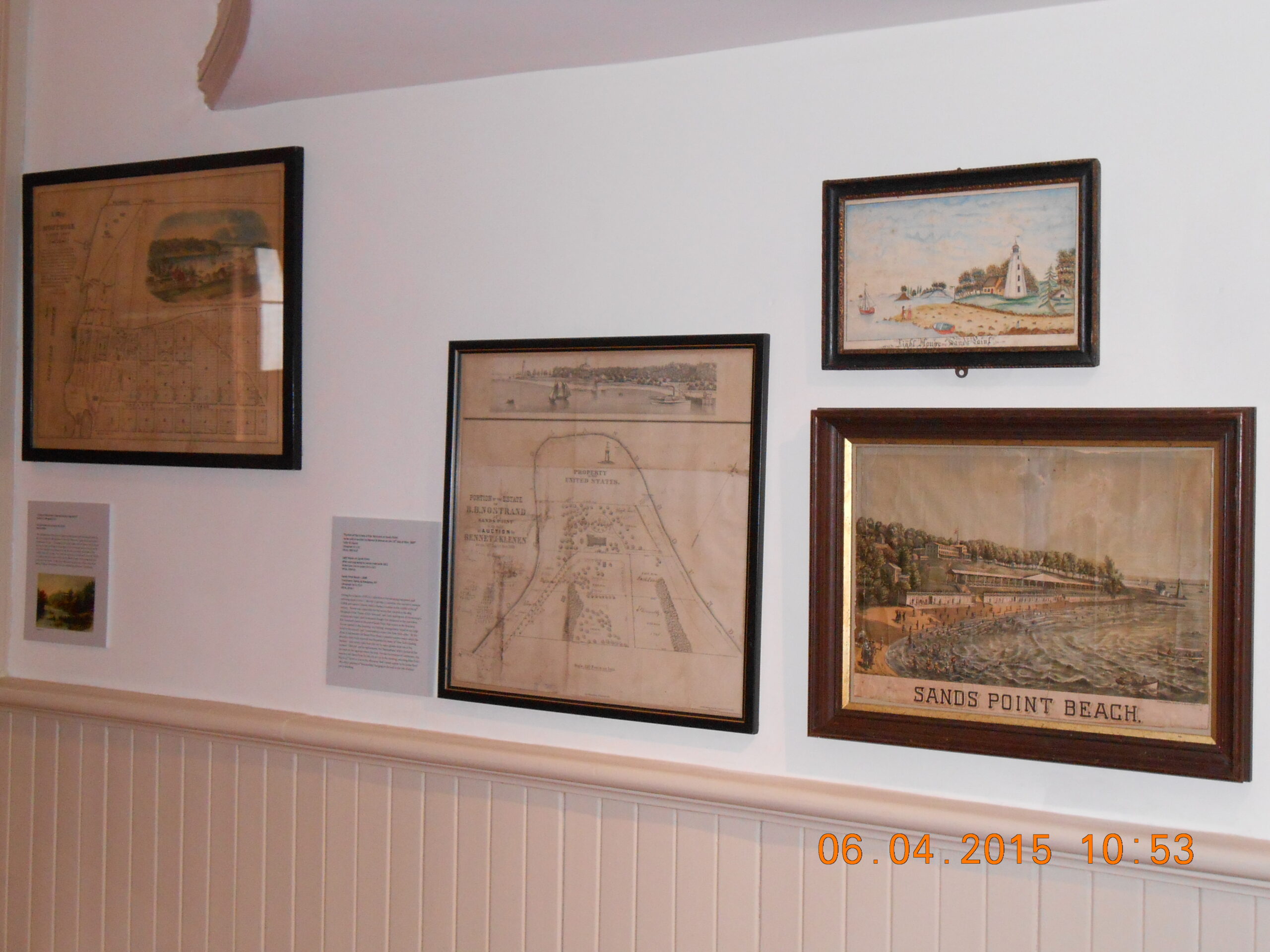
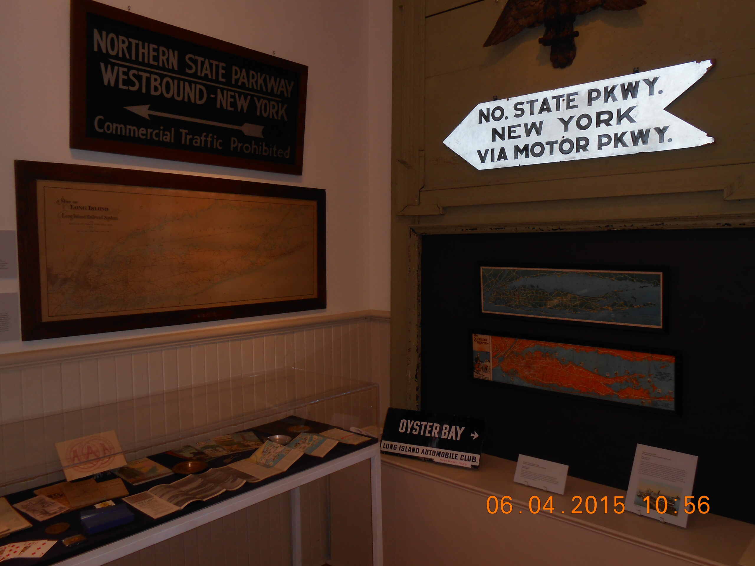
Selling Long Island: Commercial Maps of the Late 19th and Early 20th Centuries explored how the art of cartography was used during the nineteenth and twentieth centuries to define the geography of Long Island as a place for investment, industry and commerce, home-building, and ultimately, substantial growth and profit. Featured maps included those created for the Long Island Railroad, large wall atlases, tax maps, scientific surveys, and bird’s-eye views that, along with related ephemera such as period real estate and travel brochures, illustrated Long Island’s transformation from rural outpost to modern suburb.
Guest Curator, Robert B. MacKay, Preservation Long Island’s Director Emeritas